
CIVIL ENGINEERING SUPPORT
GEOFOTO INCORPORATED provides services and solutions for geodata, from topography small-scale data up to cadastre large-scale data. Technology varies, from remote sensing to precise field measurements.
SOLUTIONS
Integrating geodesy with IT, GEOFOTO INCORPORATED is offering to its clients’ multi-purpose Geoinformation systems covering solutions for:
- Asset Management
- Cadastre and Land Registry
- Utility Cadastre
- Topographic Information Systems
- Military Geoinformation Systems
- Agriculture (B2G) – LPIS
- Geo-marketing
- Civil Engineering Support
- Local Government Support
- Property Taxation (DECIDE)
- Demining of post-war zones
SERVICES and PRODUCTS
To create these solutions, GEOFOTO INCORPORATED provides the following services:
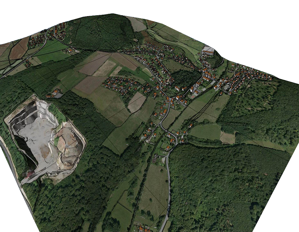
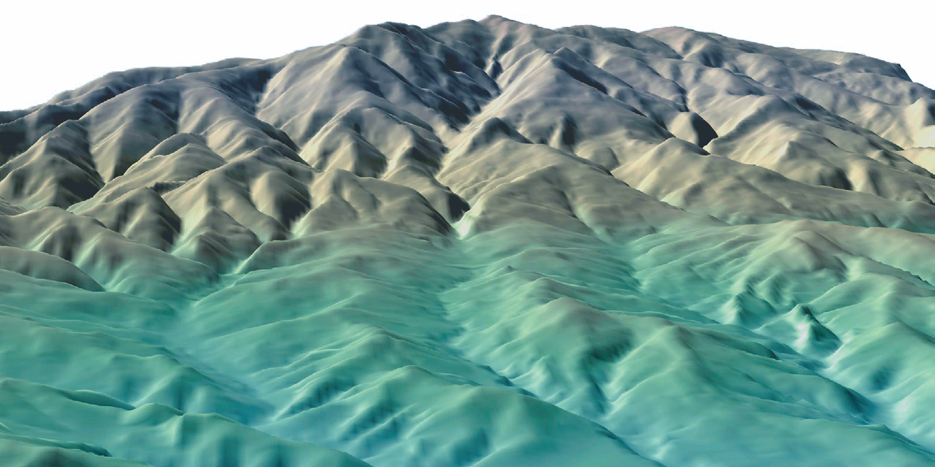
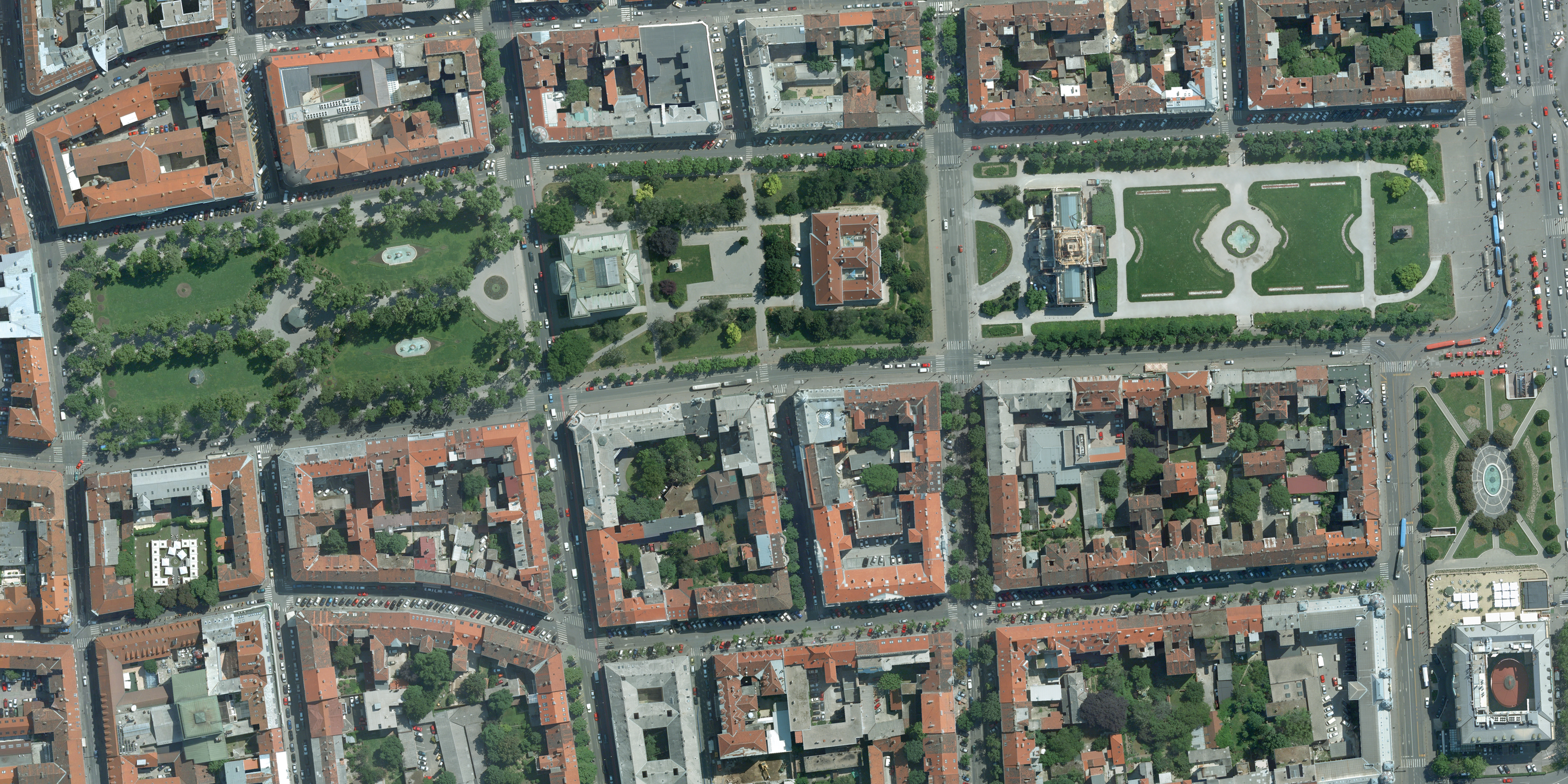
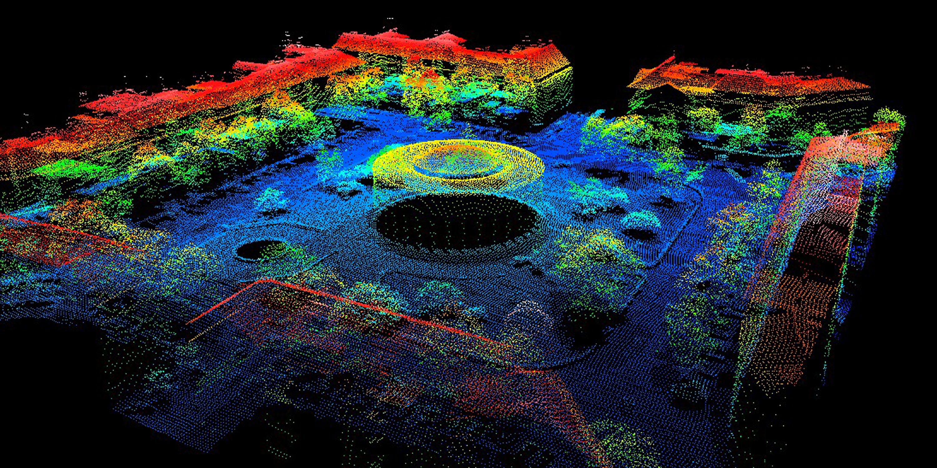
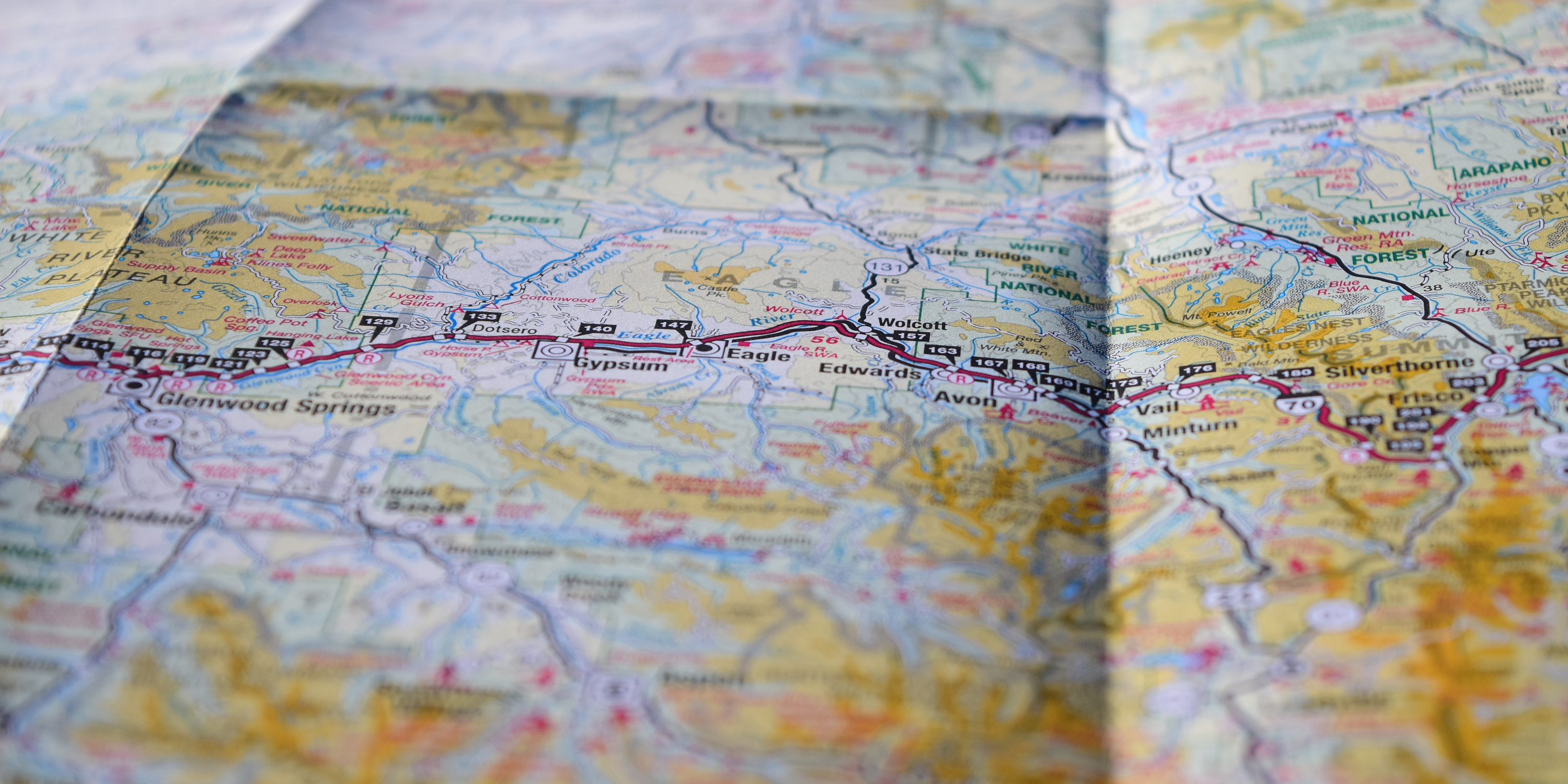
Aerial surveys – LIDAR scanning – Photogrammetry mapping – Satellite image processing and interpretation
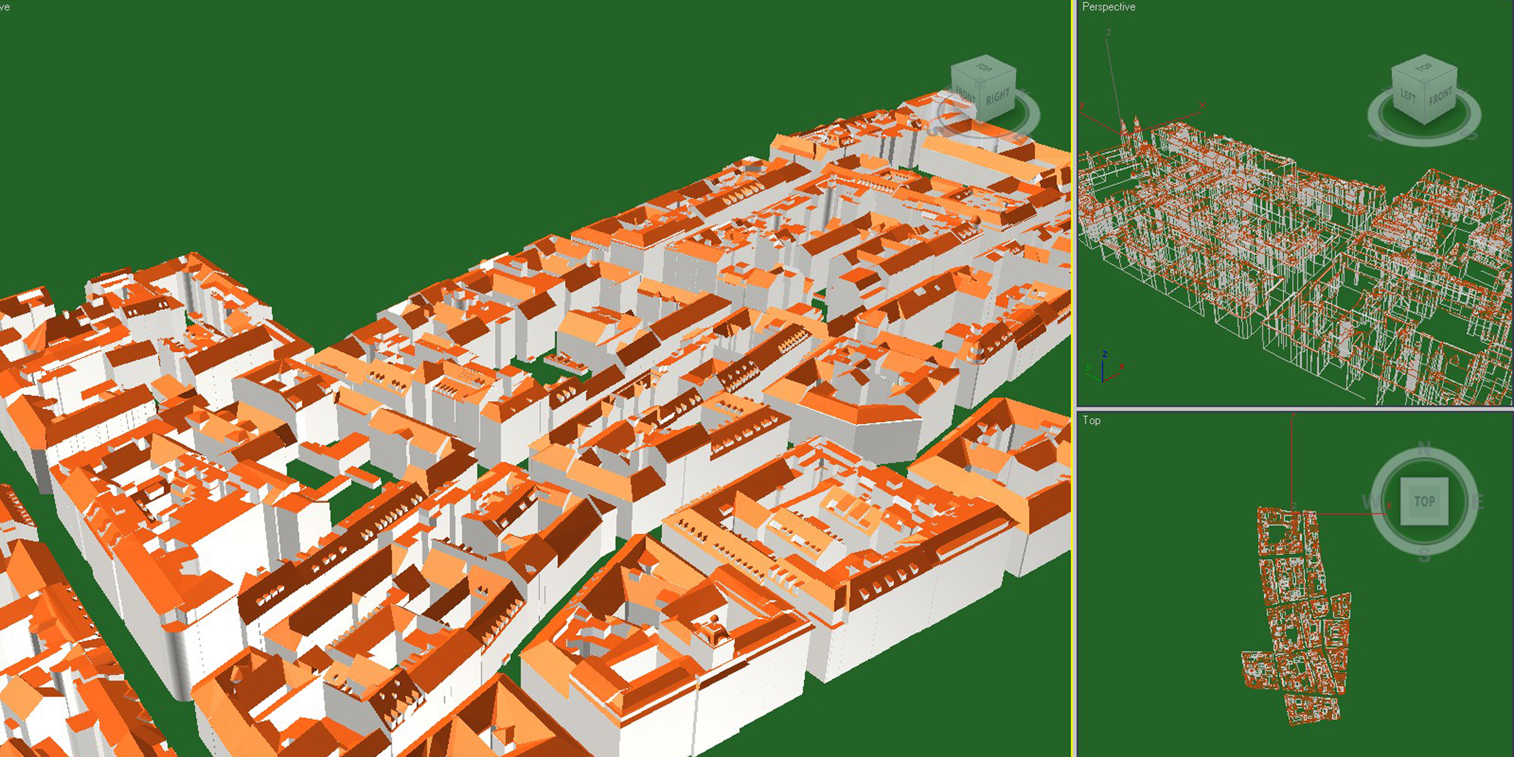
Production of digital orthophotography – Modeling 3D buildings – Production of topography datasets – Cartography
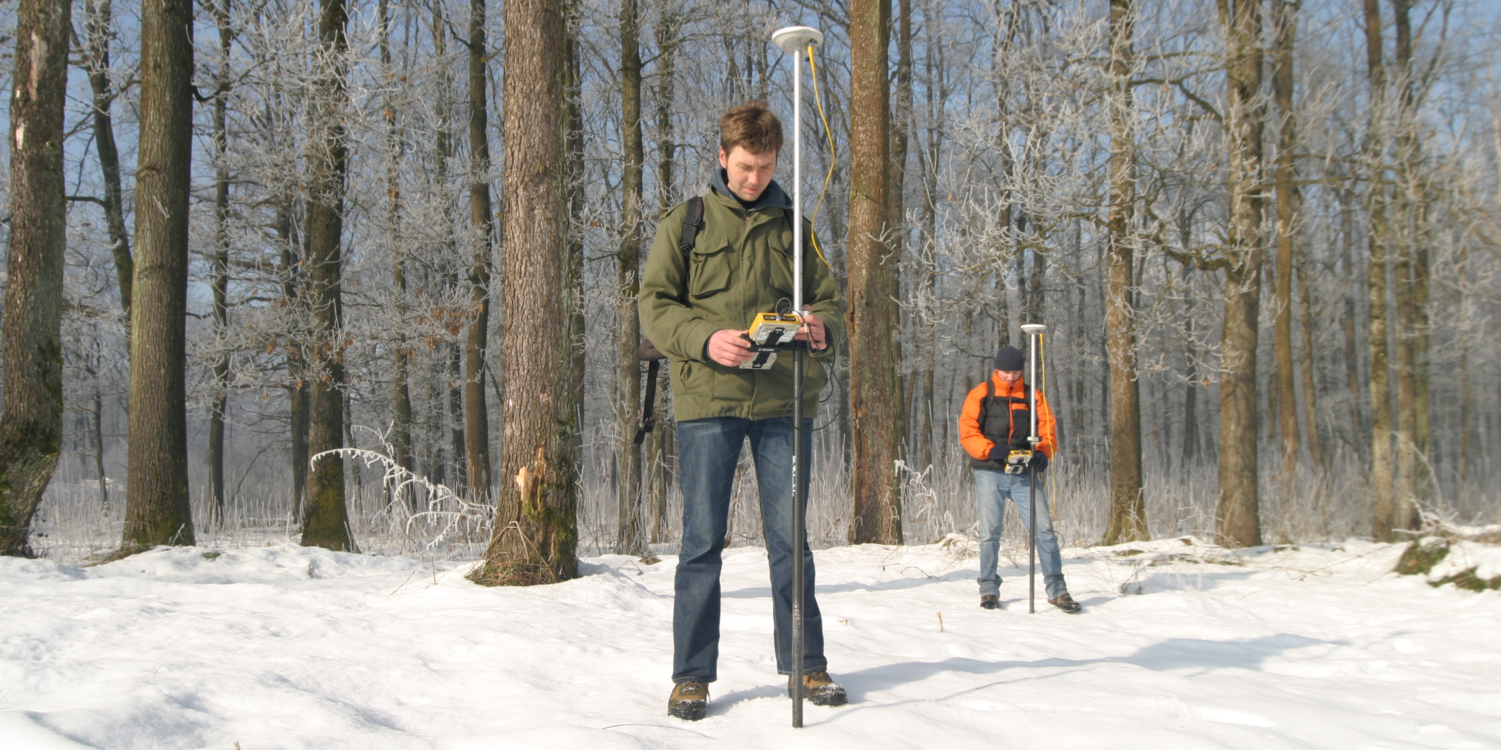
Cadastre/Real Estate surveying – Geodetic/Engineering Surveying – Utility Cadastre surveying – Vectorisation
GIS web portal development – Integration of GIS and ERP – Consulting services – Quality controlling
and the following products:
Digital Orthophoto maps – Digital Terrain Models – Satellite imagery – Scanning centers – Software applications
CONTACT US...
Office:
GREEN GOLD Business Center
Radnička cesta 52-54
1st Floor V1/V2 Tower
10 000 Zagreb, Croatia
Headquarters:
Kajfešov brijeg 4
10 000 Zagre Croatia
+385 91 9594 015
marketing@geofoto-group.hr